
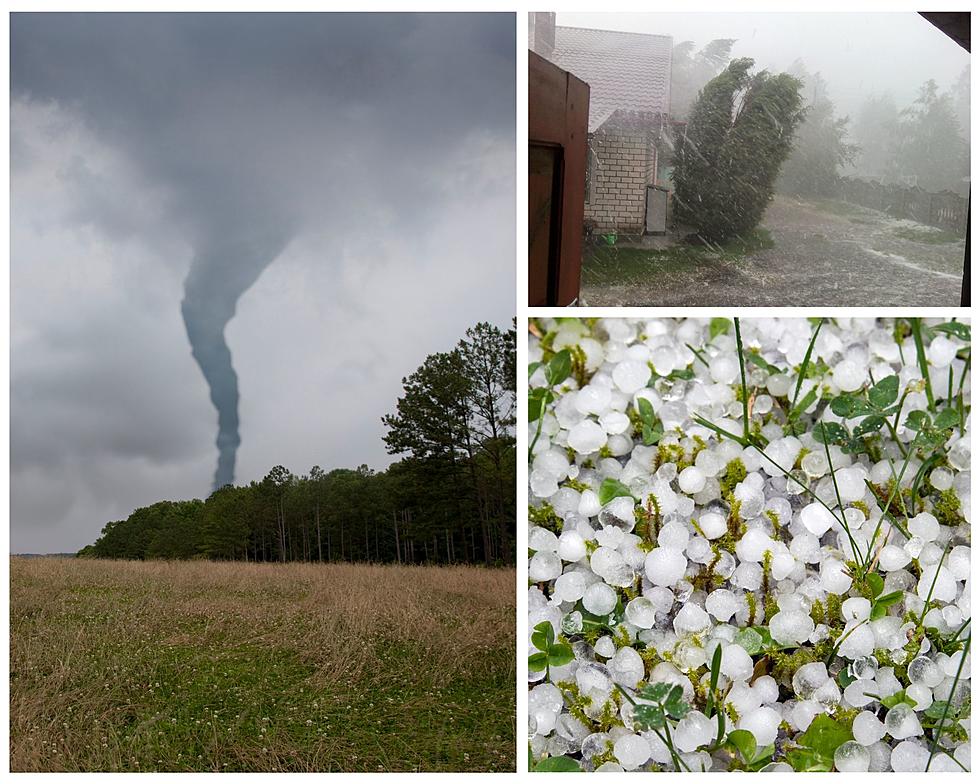
Damaging Winds, Hail, Isolated Tornado Possible in West Michigan This Week
UPDATE: The National Weather Service has issued a severe thunderstorm watch for most of West Michigan until 4p.m. on Wednesday.
A severe thunderstorm warning has been issued for the areas of Ludington and Pentwater.
It's a weird weather week in West Michigan. In addition to high temperatures, another Air Quality Alert has been issued due to the Canadian Wildfires. There's also the risk of severe weather on Wednesday.

According to the National Weather Service, all of West Michigan is under threat of severe weather Wednesday July 26, 2023.
This afternoon and evening (Tuesday, July 25) we could see storms as well. These storms will focus more toward inland areas east of U.S. 131. While storms today are not expected to be severe, they may be capable of small hail, winds up to 30 miles per hour, cloud to ground lightning, and locally heavy rain.
The threat of severe weather is highest between noon and 8p.m. on Wednesday.
While all of West Michigan is at risk, severe weather is most likely near and south of I-96, in particular, the Kalamazoo and Lansing areas.
The National Weather Service says damaging winds are the primary threat, with gusts as high as 60 miles per hour.
Large hail and an isolated tornado are also possible.
We may also see heavy rain on Wednesday, with 1 to 2 inch rainfall totals possible. The heaviest rain may fall between I-96 and U.S. 10.