U of M Uses Drones to Predict Landslides
No longer are drones used to film cool footage of our favorite land marks. The University of Michigan uses them to predict landslides ... also the scenery isn't half bad either.
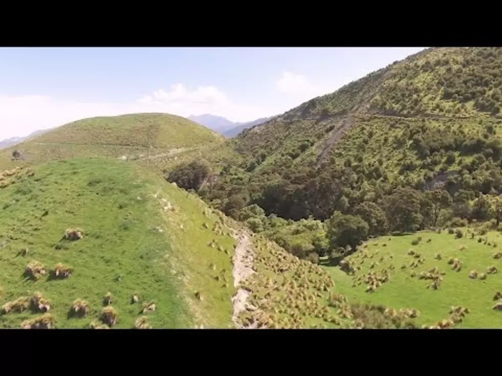
A University of Michigan-led team of geologists and engineers is mapping surface ruptures and some of the tens of thousands of landslides triggered by the magnitude-7.8 earthquake that struck New Zealand's South Island on Nov. 13, 2016. Learn More: http://ns.umich.edu/new/multimedia/vi...
University of Michigan via YouTube
Now when I say drones I don't mean what the armed forces use, I mean those funky quadracopters that I've wanted for years. Are you reading this Santa?! (Side note: why does everything I want cost so dang much?)
Anyway, it's cool that the team of geologists and engineers have figured out a way to make it all happen. Hopefully it will save lives.
More From 98.7 WFGR