
Lake Effect Snows Continue Through Friday with Rainy Weekend Forecast
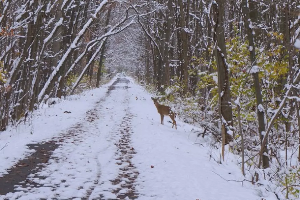
Another round of lake-effect snow is being forecast through midday Friday and a messy weekend is ahead, according to the National Weather Service's Grand Rapids Office.
The accumulating snows through Friday morning will mean more treacherous travel.
The forecast the remainder of today is for snow showers with areas of blowing snow and a high near 24 degrees Fahrenheit. Additional snow accumulations of up to four inches in Grand Rapids are expected.
A winter weather advisory is in effect until 7 a.m. Friday in Kent, Allegan, Barry, Branch, Kalamazoo, Muskegon, Newaygo, Oceana, Ottawa, St. Joseph and Van Buren counties; and Berrien and Cass counties are under a winter storm warning until 4 a.m. Friday. Winds are expected to gust up to 30 miles per hour through tonight.
As of late this morning, Grand Rapids had recorded 3.9 inches of snow over the past 24 hours with a snow depth of 7 inches. Grand Rapids had a November record for snowfall with 9.6 inches Tuesday, breaking the previous mark of 6.7 inches.
The snowfall totals over a three-day period through this morning included:
- 34.6 inches in the Grand Valley area near Allendale.
- 30.9 inches in East Grand Rapids.
- 28.8 inches in Dorr Township
- 26.7 inches in Hopkins.
- 20.8 inches in Grandville.
- 20.2 inches in Saranac.
- 19.2 inches in Hastings.
A significant snow melt appears likely on Saturday through Monday, with sleet and freezing rain in the forecast early Saturday and an all-rain forecast by Saturday afternoon.
The heaviest rain is being forecast for Sunday afternoon through evening.
The highs being forecast are 25 degrees Friday, 39 Saturday and 45 Sunday. Lows are expected to be 12 tonight, 16 Friday night, 37 Saturday night and 41 Sunday night.
More From 98.7 WFGR
![Tom Cook’s Workday Dog Break – This Golden Retriever Is Bad At Agility Courses [Video]](http://townsquare.media/site/46/files/2014/11/RS5309_177707948-scr.jpg?w=980&q=75)


![Bill Cosby Addresses Rape Allegations in Uncomfortable AP Interview [Video]](http://townsquare.media/site/757/files/2014/11/Cosby.jpg?w=980&q=75)


![Dad Has Hard Time Staying Serious With Painted Kids [Video]](http://townsquare.media/site/46/files/2014/11/Paint.jpg?w=980&q=75)